 Wiki90
Wiki90: 90s Style Encyclopedia on the Web

|

|

|

|


Śniardwy
In article Śniardwy we will address a relevant topic that has generated great interest in contemporary society. With a multidisciplinary approach, we will study different aspects related to Śniardwy, analyzing its impact in different areas. Along these lines, we will explore the various perspectives that exist around Śniardwy, providing new reflections and enriching the debate around this topic. In addition, we will focus on historical, cultural, social and scientific aspects, with the aim of offering a comprehensive vision about Śniardwy and its relevance today.
| Śniardwy | |
|---|---|
 Śniardwy in Niedźwiedzi Róg | |
| Location | Masurian Lake District |
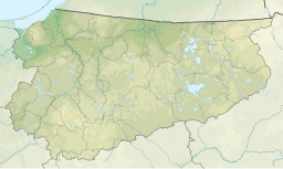
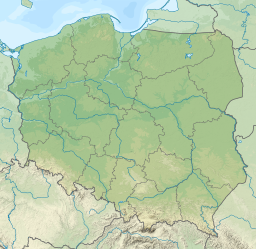
| Coordinates | 53°46′N 21°45′E / 53.767°N 21.750°E |
| Type | Glacial lake |
| Basin countries | Poland |
| Max. length | 22.1 km (13.7 mi) |
| Max. width | 13.4 km (8.3 mi) |
| Surface area | 113.8 km2 (43.9 sq mi) |
| Average depth | 6.5 m (21 ft) |
| Max. depth | 23 m (75 ft) |
| Water volume | 0.65 km3 (530,000 acre⋅ft) |
| Surface elevation | 117 m (384 ft) |
| Islands | 8 |
Śniardwy (German: ⓘ) is a lake in the Masurian Lake District of the Warmian-Masurian Voivodeship, Poland.
At 113.8 square kilometres (43.9 sq mi), Śniardwy is the largest lake in Poland. It was also the largest lake in Prussia and in Germany, when Warmia-Masuria was under German rule and formed the southern part of East Prussia. It is 22.1 kilometres (13.7 mi) long and 13.4 kilometres (8.3 mi) wide. The maximum depth is 23 metres (75 feet). There are eight islands on the Śniardwy lake.
Geography
Śniardwy was formed by retreating ice sheet and draining floodwaters occurring as the result of ice calving ahead of the receding glacier. Among the eight islands are: Szeroki Ostrów, Czarci Ostrów, Wyspa Pajęcza, Wyspa Kaczor and others. Surrounding settlements include Popielno, Głodowo, Niedźwiedzi Róg, Okartowo, Nowe Guty, Zdęgowo and Łuknajno.
Among the many inlets, two are named as separate lakes: Warnołty and Seksty. Śniardwy connects with the following lakes: Tuchlin, Łuknajno, Mikołajskie, Roś, Białoławki and Tyrkło. It is surrounded by the system of canals known as Kanały Mazurskie (Masurian Canals), with numerous sluices. Together, they form the Polish Masurian Lake District.
Bibliography
- ^ Bednarz, Klaus (June 2010). Ferne und Nähe (in German). ISBN 978-3-498-00635-8.
- ^ . Encyclopædia Britannica. Vol. 8 (11th ed.). 1911.
- ^ a b c Lake Śniardwy at the International Lake Environment Committee webpage
- J. Szynkowski, Mazury. Przewodnik, Kengraf Kętrzyn, 2003
 Śniardwy
 Śniardwy
 Śniardwy
 Lago Śniardwy
 Śniardwy
 Śniardwy
 Śniardwy
 Lago Śniardwy
 Śniardwymeer
 Śniardwy
 Śniardwy


